Conservation of medium and large carnivores critically depends on maintaining functional landscape connectivity—especially in regions fragmented by infrastructure and urban expansion. In the San Diego River watershed, natural reserves and public forests in the mountainous areas serve as biodiversity hotspots and potential wildlife corridors.
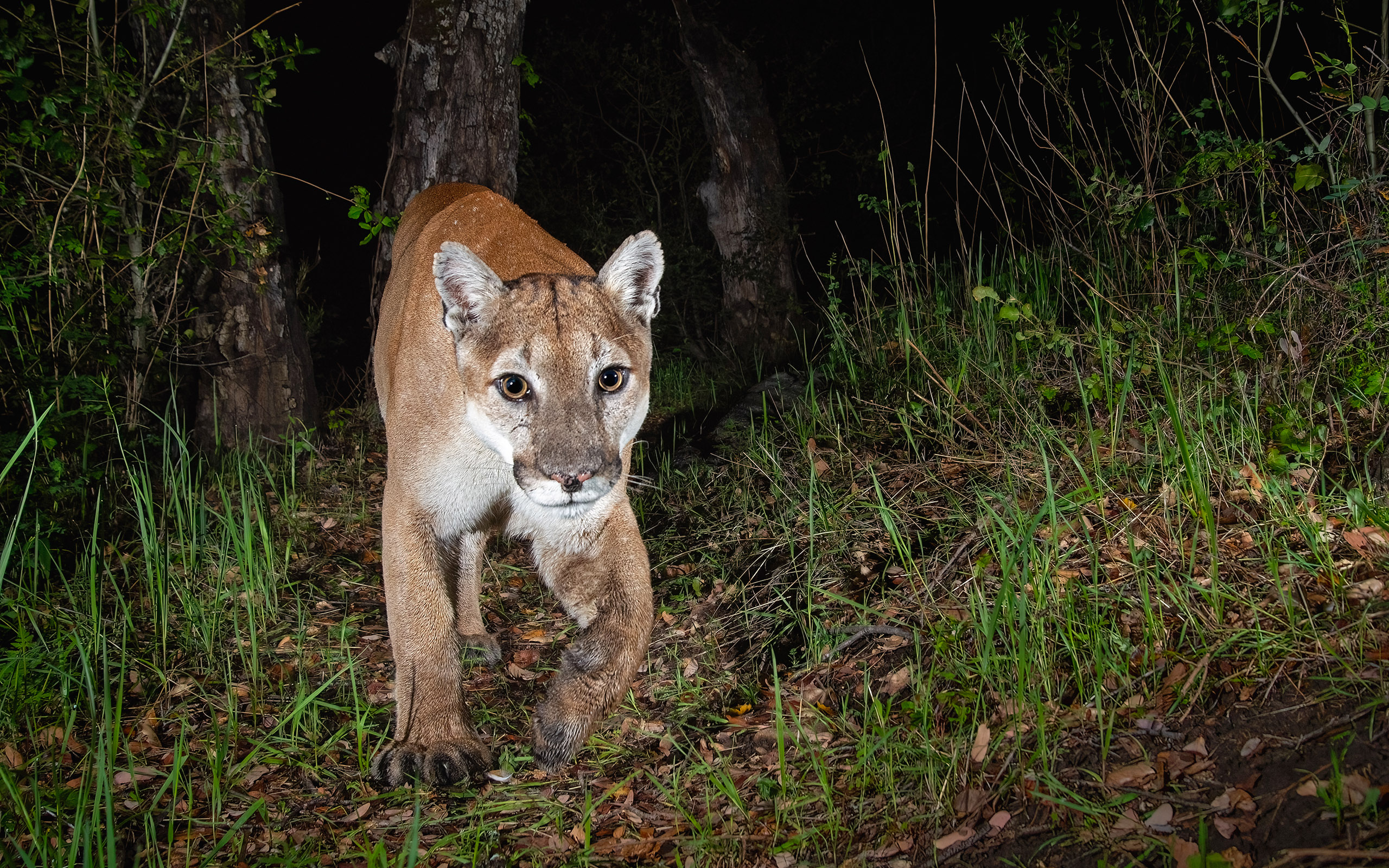
To better understand how these species move through and utilize the landscape, I operate a network of 18 strategically placed camera traps across the watershed. This non-invasive monitoring system captures presence, behavior, and movement patterns of elusive and primarily nocturnal carnivores such as the mountain lion (Puma concolor), bobcat (Lynx rufus), gray fox (Urocyon cinereoargenteus), and American badger (Taxidea taxus), among others—species that are rarely seen directly.
The spatiotemporal data collected help identify movement corridors, breeding areas, activity patterns, and home ranges, as well as detect the presence of invasive species. By combining these data with Geographic Information Systems (GIS), I model ecological corridors and assess functional connectivity between fragmented habitats.
This research provides essential insights to inform adaptive management strategies, prioritize conservation actions, and maintain ecological permeability in the face of global change and increasing human pressure.
More information:


